Minds On
Similarities and differences
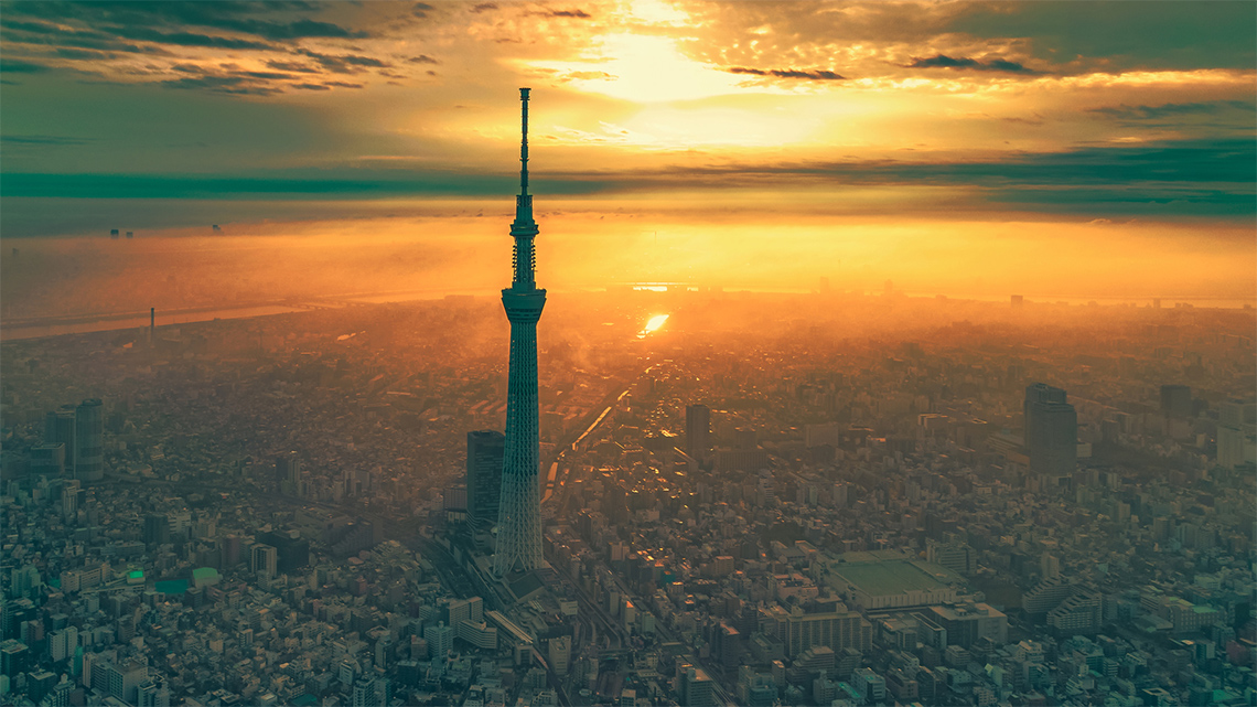
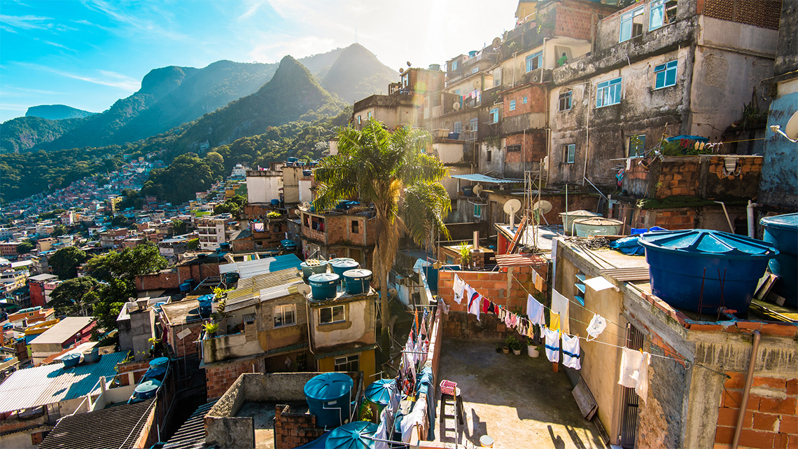
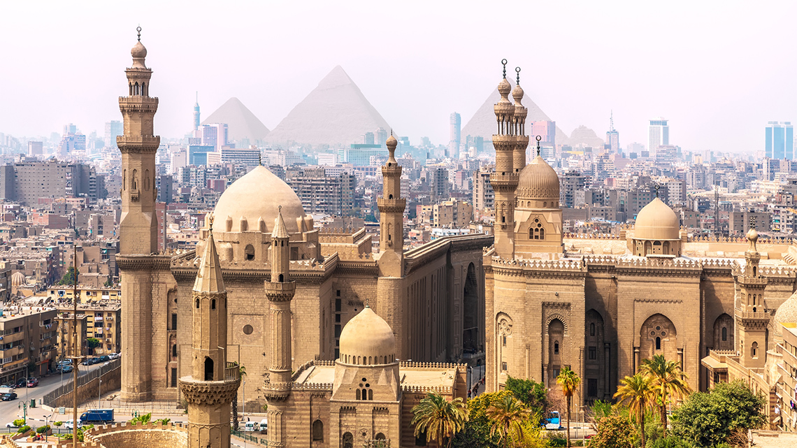
Explore the following images and consider what are some of the similarities and differences between each place?
Press ‘Hint’ to reveal possible attributes to consider.
Complete Similarities and Differences List in your notebook or using the following fillable and printable document. You can also use another method of your choice.
| Similarities | Differences |
|---|---|
Press the ‘Activity’ button to access the Similarities and Differences List.
Action
Exploring settlement patterns
In this learning activity, you will be exploring three different areas – Japan, Brazil, and Egypt – and identifying their settlement patterns. Take jot notes as you learn about each area.
Jot notes use bullet points or dashes to record important information found. When taking jot notes, focus on the landforms and settlement patterns and factors of each area.
Complete the Settlement Case Studies in your notebook or using the following fillable and printable document.
Press the ‘Activity’ button to access Settlement Case Studies.
Task 1: Japan

Explore the following map of Japan, and reflect on:
- Why do you think people would choose to settle here?
Record your ideas using jot notes.

This image is a map of Japan. Surrounding Japan is the North Pacific Ocean to the east, the Philippine Sea to the south, the East China Sea to the south-west, the Yellow Sea to the west, and the Sea of Japan to the north-west. Japan is located closest to South Korea on the north-west side of Japan. Its northern coastline is also close to North Korea, China and Russia. The four largest islands are labelled, with Hokkaido in the northern section, the largest and main island of Honshu in the centre, and the smaller island of Shikoku followed by Kyushu in the south west. The capital city of Tokyo is labelled and located on Honshu in the center of the south-east coastline.
Japan is composed of over 4,000 islands that stretch along the Pacific coast of East Asia, with four major islands: Hokkaido, Honshu, Kyushu, and Shikoku. Honshu is the main island of Japan and is dominated by mountains and volcanoes. A long ridge of rugged mountains runs through the heart of Japan and deep valleys run on either side. A large number of short rivers flow down the mountains into the coastal areas of Japan.
Press the following tabs to learn more about Japan!
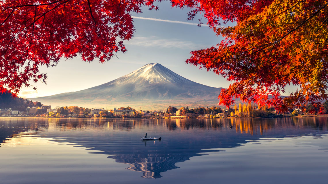
Urban growth began in the 1800s with the development of international ports, and many new industrial towns were founded in response to the economic development.
Over time, more towns were developed to control the main transportation routes, which developed the majority of Japan’s important cities, such as Tokyo.
After World War II, hundreds of thousands of Koreans migrated to Japan to work as labourers. Government reforms in response to increased migration created kuni’s (similar to provinces) that divided up Japan’s maritime plains, interior basins, and mountains. Each kuni was connected with roads or sea routes.

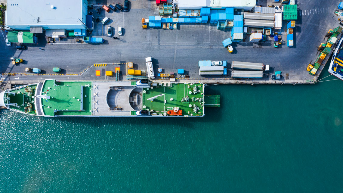
Japanese cities have mixed land use, including agricultural activity and modernized business centres. The growth of Japan’s cities from the 1880s onwards was based on the growing expansion of industrial production and the successful export of Japanese goods that were sold in other countries.
Industrial production includes manufacturing, mining, and utilities. Industrial production is a measure of the output of the industrial sector of the economy
Japan generates almost as much profit as the United States on the amount of resources they export to other countries.
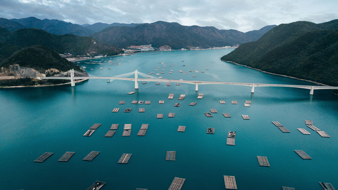
Due the mountainous terrain of the country, the supply of agricultural land is limited with infertile and immature soils. Timber resources are extensive in Japan, but most of the forest area is inaccessible due to mountainous areas.
However, Japan’s wet climate provides the country with considerable fresh water supplies. Japan relies heavily on the sea as one of its largest industries, and it does not rely on mineral resources, as the country does not have many natural mineral resources.
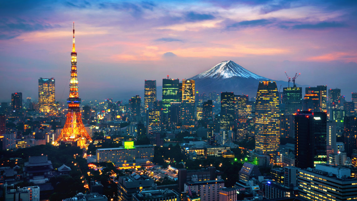
Despite the abundance of wealth in industries, Japan experiences some serious problems. There is currently a shortage of housing. The increase in automobile use and overcrowded transportation systems are causing immense environmental pollution that can increase the risk of earthquakes and floods. While fishing is a major industry for Japan, local fisheries are depleted from overfishing and pollution.
Brainstorm
Brainstorm
- What are some ways that the environment affects human settlement in Japan?
- What are some ways that human settlement in Japan has affected the environment?
Record your ideas in a notebook or a method of your choice.
Once you have completed your jot notes for Japan, move to the next section about Brazil.
Task 2: Brazil

After examining the map of Brazil, reflect on:
- Why do you think people would choose to settle here?
Record your ideas using jot notes.

This is a map of Brazil, which is in the north-east section of South America. It is the largest country in South America. Brazil’s eastern border is bounded by the Atlantic Ocean. The capital city of Brasilia is labelled and located in the south-east center of the country. The five regions of Brazil are The Amazon River Basin in the north-west, which includes the Amazon River; the Guiana Highlands in the most northern region; the Brazilian Highlands on the east coastline; the Pantanal wetlands in the south-west; and the Southern Highlands in the south. The map also includes the equator line, which runs through the most northern region of Brazil, and the Tropic of Capricorn, which runs through the most southern region. The Atlantic Ocean and the Pacific Ocean are labelled on the map.
Brazil is located in the central eastern part of South America and is the world’s fifth largest country. Brazil is divided into five primary geographic areas: the Northern Guiana Highlands; the Brazilian Highlands in the central and the eastern coastline; the massive Amazon River Basin which includes the Amazon River; the Pantanal wetland areas in the southwest; and the Southern Highlands at the very southern part of Brazil. The Brazilian Highlands are covered by low mountain ranges and forested river valleys.
Press the following tabs to learn more about Brazil!
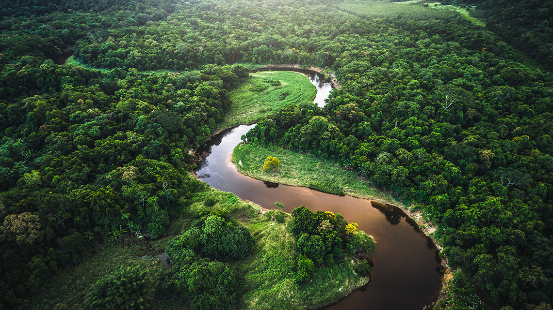
Brazil is one of the world’s giants of mining, agriculture, and manufacturing. It is a leading producer in minerals, including iron ore, tin, manganese, gold, quartz, and diamonds. Brazil exports steel, automobiles, electronics, and consumer goods.
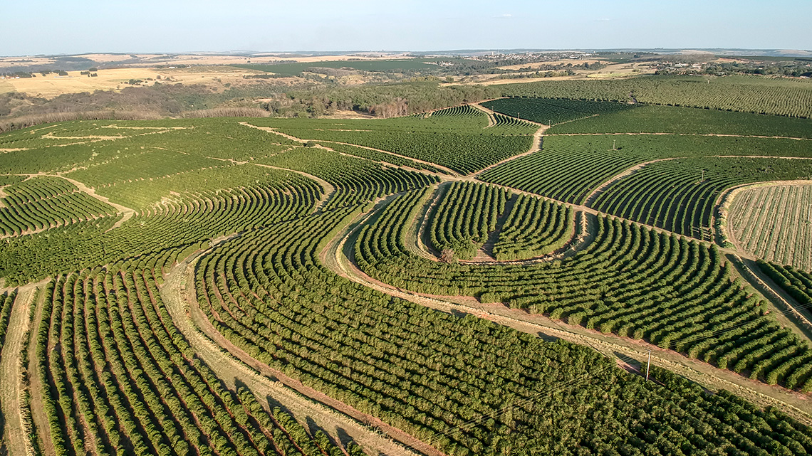
Brazil is the world’s primary source of coffee, oranges, sugar, soy, and beef. Although fishing and forestry are important, they play a small role in comparison to farming and raising livestock.
In the 1500s, sugarcane began to dominate the economy, followed by the mining of gold and diamonds. During the 1800s, coffee plantations brought additional wealth and jobs to the region.
Low incomes in the country, limited land ownership, and changing climatic conditions have driven migration to Brazil, along with commercial agriculture. This contributed to the rapid move of population from rural to urban areas of Brazil.
Despite the wealth of industries in Brazil, many areas struggle to continue to advance economically due to drought and high rates of unemployment. Rapid urban growth has produced physical and social problems such as a lack of housing and overcrowding. Urbanization has caused a decline in agriculture, including the exploitation of mineral, industrial, and hydroelectric potential.

Brainstorm
Brainstorm
- What are some ways the environment affects human settlement in Brazil?
- What are some ways that human settlement in Brazil have affected the environment?
Record your ideas in a notebook or a method of your choice.
Once you have completed your jot notes for Brazil, move to the next section on Egypt.
Task 3: Egypt

Based on the following map of Egypt, why do you think people would choose to settle here? Record your ideas in your jot notes.

The image is a close-up map of Egypt. The capital city of Cairo is labelled and is in the top north-east corner of Egypt. The Nile River runs through the entire country from the north to the south on the east side, paralleling the Red Sea. The Red Sea is along the eastern border. The Mediterranean Sea is along the north border. Egypt has four regions named the Eastern Desert, the Western Desert, the Sinai Peninsula, and the Nile Valley and Delta. The Nile valley and Delta are the regions directly next to the Nile River. The Eastern Desert is the eastern side of the Nile River. The Western Desert is west of the Nile River and Nile Valley. The Sinai Peninsula is a small piece of land that connects Egypt to Asia. Other features include surrounding countries of Libya to the west, Sudan to the south, and Jordan, Israel, and Saudi Arabia to the east.
Egypt is largely covered by desert, with the Nile River running south to north through the eastern side and bordered with cliffs. The Nile River is the lifeline of Egypt, and therefore, 98% of the country’s population lives near the river. Egypt is generally divided into four major regions – the Nile Valley and Delta, the Eastern Desert, the Western Desert, and the Sinai Peninsula.
Press the following tabs to access more information about Egypt.
Part of Egypt’s population are nomads who live a nomadic lifestyle. A nomad is someone who regularly moves to and from the same areas.
In Egypt, those with a nomadic lifestyle move around based on the availability of pasture and water. They either live by herding goats, sheep, or camels, or by trading with communities on the coast.
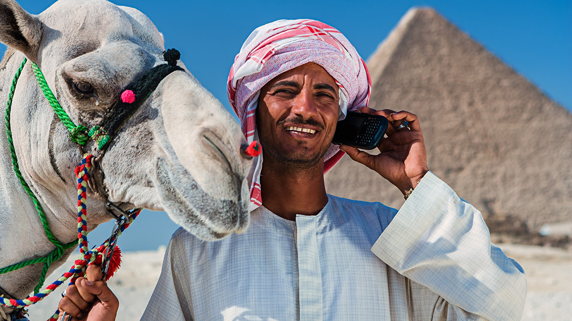
The remainder of the communities are settled and pursue activities such as growing fruit, fishing, trading, and handicrafts, along with maintaining herds of sheep and goats. The typical rural settlement is a compact village surrounded by fields that is suitable for farming, date palms, sycamore, and eucalyptus trees. Historically, the Nile River was the only source of water, so many villages are built along the banks of its canals and engage in agriculture.

About 96% of Egypt’s total land is desert. A lack of forests, meadows, or pastures place a heavy burden on the available land that is suitable for agriculture. However, heavy capital is invested in the form of canals, drains, dams, water, pumps, and barrages that helps the agricultural economy. Egypt produces cotton, sugarcane, tomatoes, sugar beets, potatoes, and onions. Egypt has limited mineral resources.
Sources Hopwood, D. , Goldschmidt, . Arthur Eduard , Smith, . Charles Gordon , Holt, . Peter M. , Baker, . Raymond William and Little, . Donald P.. “Egypt.” Encyclopedia Britannica, March 10, 2021. https://www.britannica.com/place/Egypt Jensen, M. B., Hurst, G. C., Notehelfer, F. G., & Hijino, S. (1998, July 20). People of Japan. Encyclopedia Britannica. https://www.britannica.com/place/Japan/People#toc282061. Edited 10 March 2021. Momsen, R. P. , James, . Preston E. , Schneider, . Ronald Milton , Martins, . Luciano and Burns, . E. Bradford. “Brazil.” Encyclopedia Britannica, June 14, 2021 https://www.britannica.com/place/Brazil WorldAtlas. (2021, February 25). Brazil Maps & Facts. WorldAtlas. https://www.worldatlas.com/maps/brazil WorldAtlas. (2021, February 24). Egypt Maps & Facts. WorldAtlas. https://www.worldatlas.com/maps/egypt. WorldAtlas. (2021, February 24). Japan Maps & Facts. WorldAtlas. https://www.worldatlas.com/maps/japan#page
Brainstorm
Brainstorm
- What are some ways the environment affects human settlement in Egypt?
- What are some ways that human settlement in Egypt have affected the environment?
Record your ideas in a notebook or a method of your choice.
Complete your jot notes on Egypt.
Let’s review!
Select the correct answer, then press “Check Answer” to see how you did.
Consolidation
Task 1: Summarizing

Using your jot notes, compare and contrast the settlements of Japan, Brazil, and Egypt.
Complete the following Comparing Japan, Brazil, and Egypt Graphic Organizer in your notebook or using the following fillable and printable document. You can also use another method of your choice.
- What notes do you have for each country?
- What similarities do you notice between the three countries?
| Notes About Each Country | Similarities Between Countries |
|---|---|
|
Notes about Japan |
Japan & Brazil |
|
Notes about Egypt |
Japan & Egypt |
|
Notes about Brazil |
Egypt & Brazil |
|
Notes about all three |
Japan, Brazil, and Egypt |
Press the ‘Activity’ button to access the Comparing Japan, Brazil, and Egypt Graphic Organizer.
Compare the following Comparing Japan, Brazil, and Egypt Answer Key with your own graphic organizer in your notebook or in your fillable and printable document.
| Notes About Each Country | Similarities Between Countries |
|---|---|
|
Notes about Japan
|
Japan & Brazil
|
|
Notes about Egypt
|
Japan & Egypt
|
Press the ‘Activity’ button to access Comparing and Contrasting Japan, Egypt and Brazil Answer Key.
Reflection
As you read the following descriptions, select the one that best describes your current understanding of the learning in this activity. Press the corresponding button once you have made your choice.
I feel...
Now, expand on your ideas by recording your thoughts using a voice recorder, speech-to-text, or writing tool.
When you review your notes on this learning activity later, reflect on whether you would select a different description based on your further review of the material in this learning activity.
Press ‘Discover More’ to extend your skills.
Discover MoreAdvertisement
You have been asked to create an advertisement that will draw more people to settle in either Japan, Brazil, or Egypt. What settlement factors will you use to draw people to this area? What images will you use? Create an advertisement in print or digitally that includes the following:
- area of the country someone could live
- opportunities this area presents
- images/map of the area and landforms
- settlement factors that might draw someone in (for example, agriculture, water, political, economic)
- advertisement is attractive, neat, and organized

