Minds On
Maps with grids
Coordinate grids are an effective method of organizing and labelling cells to locate different things. In the following map grid, there are three coloured rectangles.

If you would like, you can complete the activity using TVO Mathify. You can also use your notebook or the following fillable and printable document.
Your task is to list the cells that describe each rectangle’s location on the map grid.
Consider:
- How will you name a cell?
- When identifying a cell, does it matter if the letter goes first or the number?
- How will you indicate whether a rectangle is located over multiple cells?
List the map coordinates that contain each of the coloured rectangles shown on the map grid.
Press the ‘TVO Mathify' button to access this interactive whiteboard and the ‘Activity’ button for your note-taking document. You will need a TVO Mathify login to access this resource.
TVO Mathify (Opens in a new window) Activity (Open PDF in a new window)Action
Task 1: Features of a Cartesian plane
In Minds On, we reviewed how to use a coordinate grid. Now, we will explore the Cartesian plane. A Cartesian plane is divided into four quadrants by a horizontal axis and a vertical axis intersection at a point called the origin.
Carefully examine how the quadrants are labelled on a Cartesian plane.
- Quadrant 1 is the top right corner.
- Quadrant 2 is the top left corner.
- Quadrant 3 is the bottom left corner.
- Quadrant 4 is the bottom right corner.
How would you describe the process of identifying the quadrants? When you are ready, press ‘Answer’ to access the process.
Examine the Cartesian plane. Observe that all four quadrants and the origin are labelled.

Decide if x and y have integer values that are positive or negative in each of the quadrants. It is important to note that the x-axis and y-axis separate the quadrants and are not a part of any of the quadrants.
Complete the Four Quadrants and Their Properties Chart in your notebook or using the following fillable and printable document. Record your response and be prepared to share your observations about the four quadrants.

Press the Activity button to access the Four Quadrants and Their Properties Chart.
Activity (Open PDF in a new tab)Task 2: Plotting points on a Cartesian plane
Ordered pairs
Ordered pairs are two numbers, in order, that are used to describe the location of a point on a plane relative to the origin (0, 0).
On a coordinate plane, the first number is the horizontal coordinate of a point, and the second number is the vertical coordinate of the point. Sometimes ordered pairs are called coordinates.
Let’s try mapping some coordinates.
Example 1
On a Cartesian plane online or on paper, plot the coordinates (7, 4).
To plot coordinates on a Cartesian plane, always start at the origin (0, 0) where the two axes intersect. Identify the x-coordinate, and move that many units along the x-axis until you reach the horizontal coordinate. Then, identify the y-coordinate, and move that many units parallel to the y-axis until you reach the vertical coordinate.
Starting at the origin (0, 0):
- What is the x-coordinate?
- How many units must you travel along the x-axis to reach the horizontal coordinate?
- In what direction must you travel along the x-axis to reach the horizontal coordinate?
- What is the y-coordinate?
- How many units must you travel along the y-axis to reach the vertical coordinate?
- In what direction must you travel along the y-axis to reach the vertical coordinate?
Record your ideas in a notebook or a method of your choice.
Example 2
On a Cartesian plane online or on paper, plot the coordinates (-4, -8)
Again, use the same process starting at the origin (0, 0):
- What is the x-coordinate?
- How many units must you travel along the x-axis to reach the horizontal coordinate?
- In what direction must you travel along the x-axis to reach the horizontal coordinate?
- What is the y-coordinate?
- How many units must you travel along the y-axis to reach the vertical coordinate?
- In what direction must you travel along the y-axis to reach the vertical coordinate?
Record your ideas in a notebook or a method of your choice.
Use the following image to verify both examples. Did you plot your points correctly? If not, where did you go wrong?

Plotting points
In the following section there are various coordinates listed.
1. Predict where each point will be located on a Cartesian plane.
- Will it be located on the x-axis, the y-axis, or one of the quadrants?
- If in a quadrant, which one?
2. Plot each point on a Cartesian plane of your choosing. You may choose to describe how you would plot the coordinates in a recording.
Here are the six coordinates:
- (0, 8)
- (-1, -3)
- (-10, 6)
- (2, -7)
- (4, 0)
- (-9, 10)
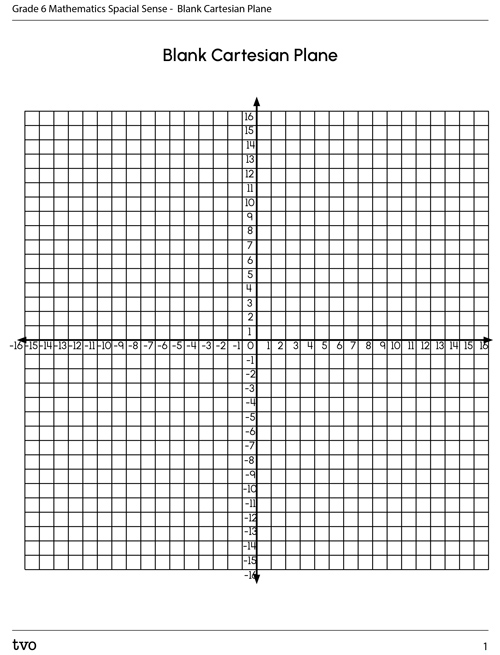
Complete this task using the Blank Cartesian Plane in your notebook or using the following printable document. You can also use another method of your choice.
Record your responses to the following questions:
1. Why is it important to order the numbers in an ordered pair?
2. What is the difference between locating something on a map grid (like in the Minds On activity) versus locating something on a Cartesian plane?
Task 3: Practising
Practise reading coordinate points.
List the coordinates used to plot the points that outline the letters H and K on this coordinate grid.

On a Cartesian plane (online or on paper), plot the coordinates that could be used to create your initials or two letters of your choice. Label each of the points on the grid, and connect the lines to show your initials. You may also record a detailed description of what you would do in a notebook or a method of your choice.
Here is another example using the letters A and E. A is plotted (-9,0), (-9,3), (-9,6), (-4,6), (-4,3), and (-4,0). E is plotted (1,0), (1,3), (1,6), (6,6), (6,3), and (6,0).

Create or record the details of how you would create a shape on a Cartesian plane by plotting the coordinates.
If you would like, you can complete the activity using TVO Mathify. You can also use your notebook or the following fillable and printable document.

Press the ‘TVO Mathify' button to access this interactive whiteboard and the ‘Activity’ button for your note-taking document. You will need a TVO Mathify login to access this resource.
TVO Mathify (Opens in a new window) Activity (Open PDF in a new window)Task 4: Plotting shapes on a Cartesian plane
To plot shapes on a Cartesian plane, we label the coordinates where each line of the shape intersects with another line (i.e., the corners of the shapes). Then, we connect the corners with a straight line.
Plot the following shapes on a Cartesian plane following the criteria given for each question. The first is an example.
Example
Create a shape on the Cartesian plane using these coordinates: (1, -4), (7, -4), (1, -10), and (7, -10). Connect the dots in order, and then identify what the shape is. The four points are plotted in the fourth quadrant, and together the points form a square.
Here is the solution.

1. Create a shape on the Cartesian plane using these coordinates: (-10, -3), (-10, -10), and (-3, -10). Connect the dots, and then identify what the shape is.
Complete this task using the Blank Cartesian Plane in your notebook or using the following printable document. You can also use another method of your choice.
2. Create a shape on the cartesian plane using these coordinates: (3,8), (-4, 8), (-4, -3), and (3, -3). Connect the dots in order, and then identify what the shape is.
Complete this task using the Blank Cartesian Plane in your notebook or using the following printable document. You can also use another method of your choice.
Answers these questions on paper or using the Mathify whiteboard.
3. Describe or create the shape using the criteria given: a triangle where one of the coordinates is (3, 5), and the shape spans over 2 quadrants on the Cartesian plane.
4. Describe or create the shape using the criteria given: a square where one of the coordinates is (-7, 3), and the shape spans over all 4 quadrants.
5. Describe or create the shape using the criteria given: a trapezoid where one of the coordinates is (-5, -6).
6. Describe or create the shape using the criteria given. If possible, share your shapes. What other points did you use for the shape? Did others have the same points? Why could they be different?

Press the ‘TVO Mathify' button to access this interactive whiteboard and the ‘Activity’ button for your note-taking document. You will need a TVO Mathify login to access this resource.
TVO Mathify (Opens in a new window) Activity (Open PDF in a new window)Consolidation
Task 1: Cartesian plane art
Let’s get creative! Now that you have had practice plotting coordinates onto a Cartesian plane, you are going to create Cartesian plane art digitally or on paper using various manipulatives. Or, you may provide a detailed description in a notebook or a method of your choice.
Criteria:
- You may create any object you would like.
- Your art must include the following coordinates: (4, 3), (7, 1), and (-2, -8).
- Your art can include any other coordinates you need.
- Record what the art is and what coordinates you used.
Think about your learning
Record your answers to the following questions.
- What is the purpose of a Cartesian plane?
- Where are Cartesian planes used?
- How would you explain how to plot points on a Cartesian plane to someone? What is most important for them to understand?
Reflection
As you read through these descriptions, which sentence best describes how you are feeling about your understanding of this learning activity? Press the button that is beside this sentence.
I feel...
Now, record your ideas using a voice recorder, speech-to-text, or writing tool.
Connect with a TVO Mathify tutor
Think of TVO Mathify as your own personalized math coach, here to support your learning at home. Press ‘TVO Mathify’ to connect with an Ontario Certified Teacher math tutor of your choice. You will need a TVO Mathify login to access this resource.
TVO Mathify (Opens in a new window)