Minds On
Technology in our lives
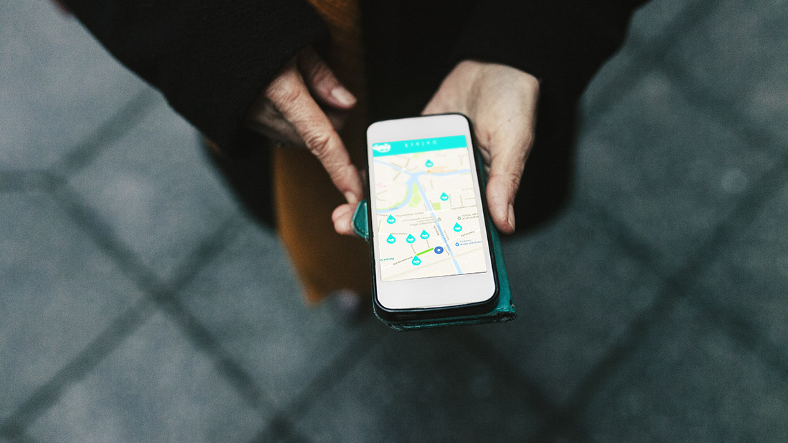
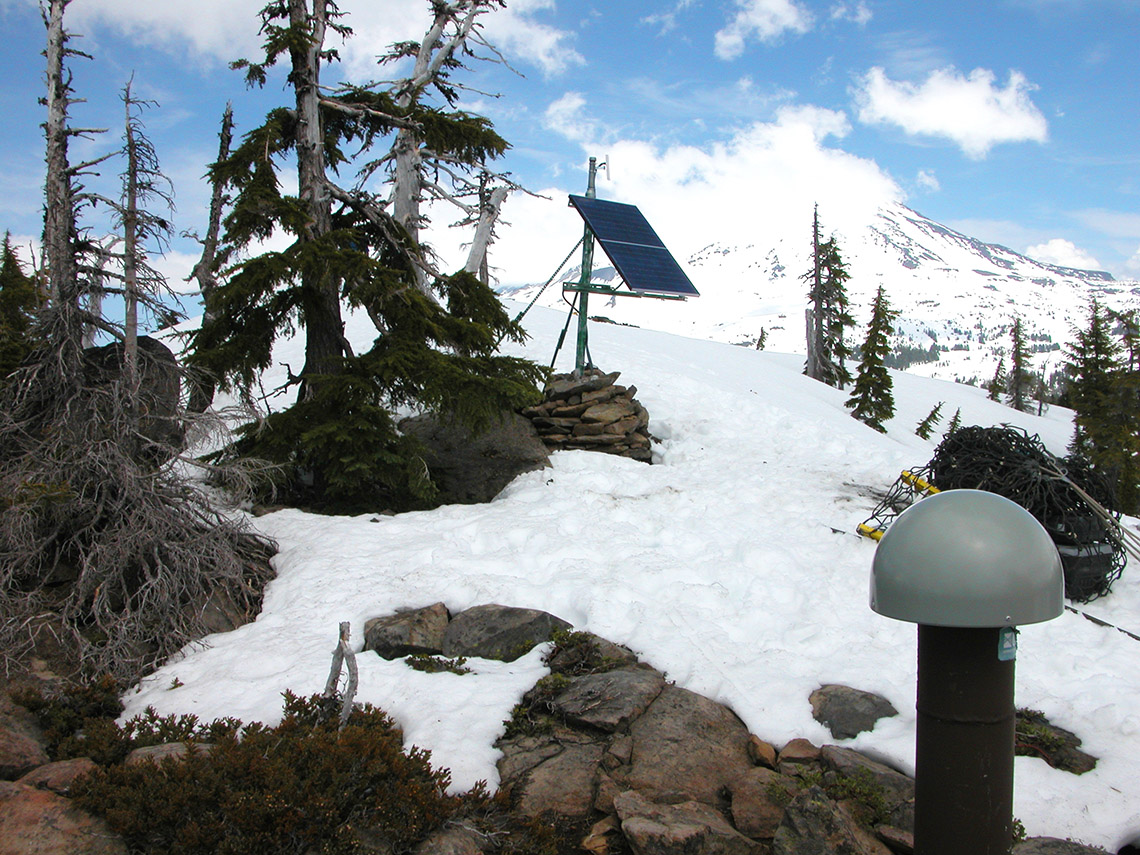
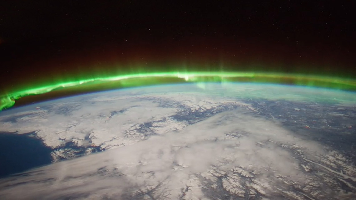
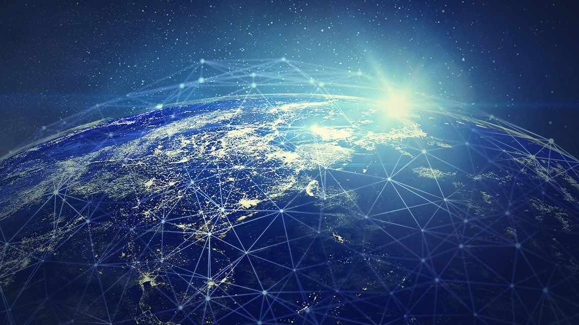
Explore the following images. What do you notice? What do you wonder? Record your ideas using a method of your choice.
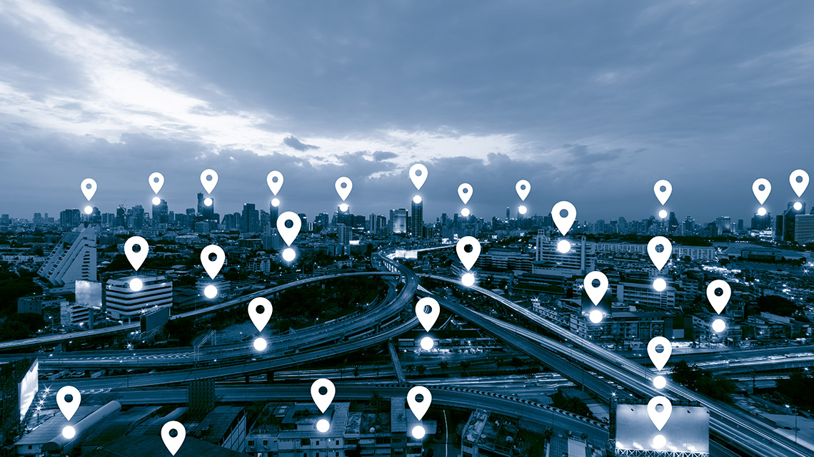
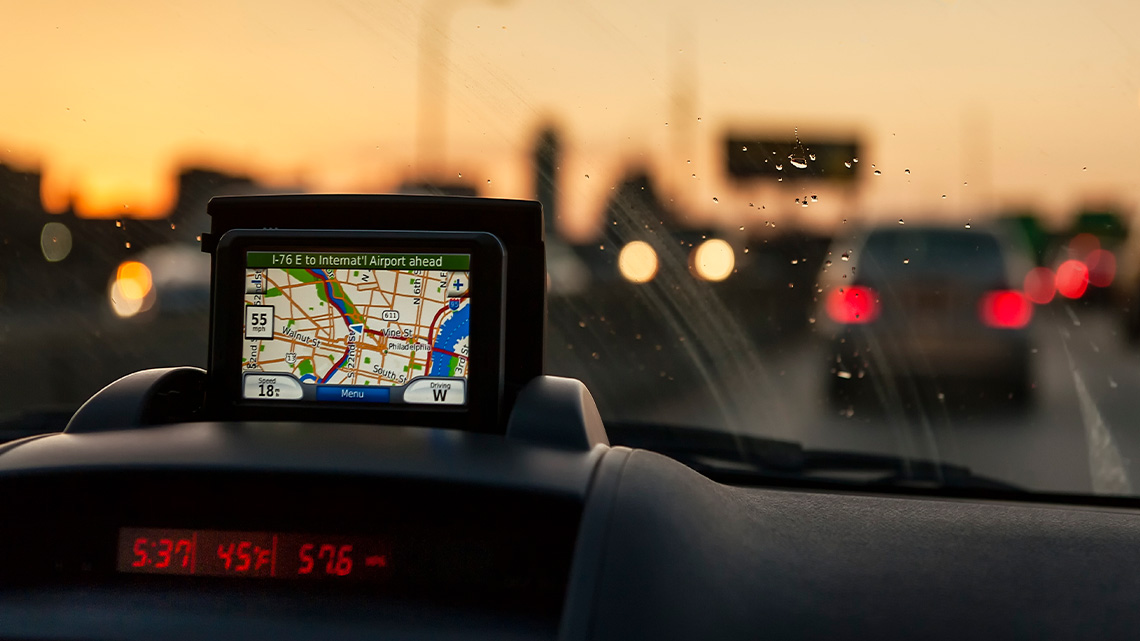
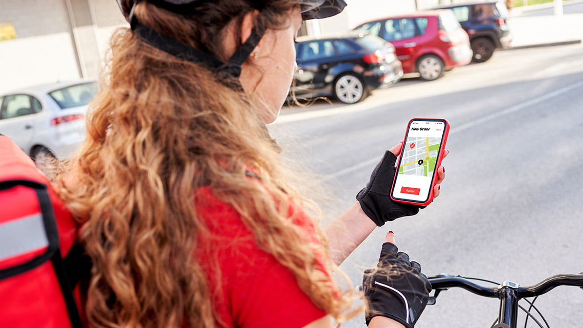
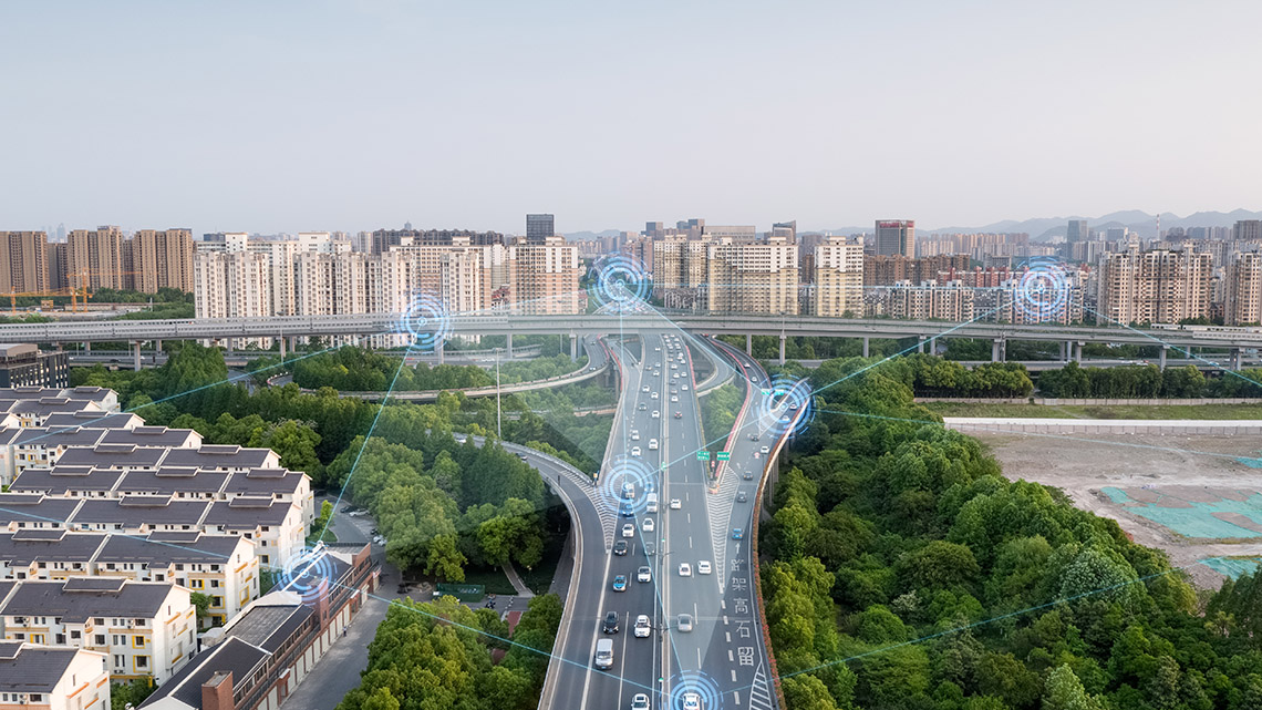
Press ‘Answer’ to learn information about the images.
The images were related to a global positioning system, also known as a GPS. A GPS is a system of satellites that is designed to help navigate Earth – on land, in the air, and in water.
Can you brainstorm any ideas for a GPS is used for? Record as many ideas as you can in a method of your choice.
Action
Innovation in Canada
This learning activity features emerging technologies, STEM contributions, and Canadian innovations that are making a difference.

New technology is always being developed and advanced in response to changes in society, the environment, and the world. One innovative technology that is often used in modern society is the Global Positioning System, also known as the GPS. GPS is a system of satellites that is designed to help navigate Earth – on land, in the air, and in water.
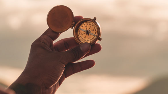
Before the development of the GPS there were other navigation tools. These included: star navigation, the compass, and the radio. In the late 1950’s, artificial satellites were launched into space and gave scientists the first communication source that wasn’t from the sun, moon, or Earth. Since then, different variations of the GPS system have been developed and refined into what we know today.
Today, nearly all smartphones and many other devices have an accessible GPS feature. So, how does it work? There are satellites in the sky that send a signal to a device that is equipped with a GPS. The device can use the satellites to determine where it is in the world.
Check out this video entitled “How Does GPS Work?” to learn more about GPS.
Overtime, the GPS has been used in new and innovative ways. Let’s explore some of those innovations. For each example, consider how GPS is being used. Record your thoughts using a method of your choice.
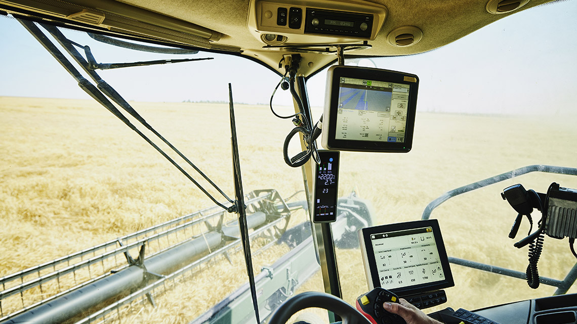
Agriculture
As the world population continues to grow, so does the demand for food. Global Positioning Systems are being used by farmers to guide efficient crop production and produce food for the growing population. Farmers use GPSs to guide tractors and equipment and gain accurate information for planting and harvesting. They are combining the technology of a GPS with other technologies to help with irrigation and soil treatment as well.
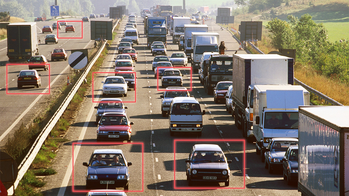
Vehicle monitoring
GPS trackers are often attached to vehicles, such as company or government vehicles, to track their location and keep them accountable for their task. A GPS can provide information about the vehicle’s location, direction, time, and speed.
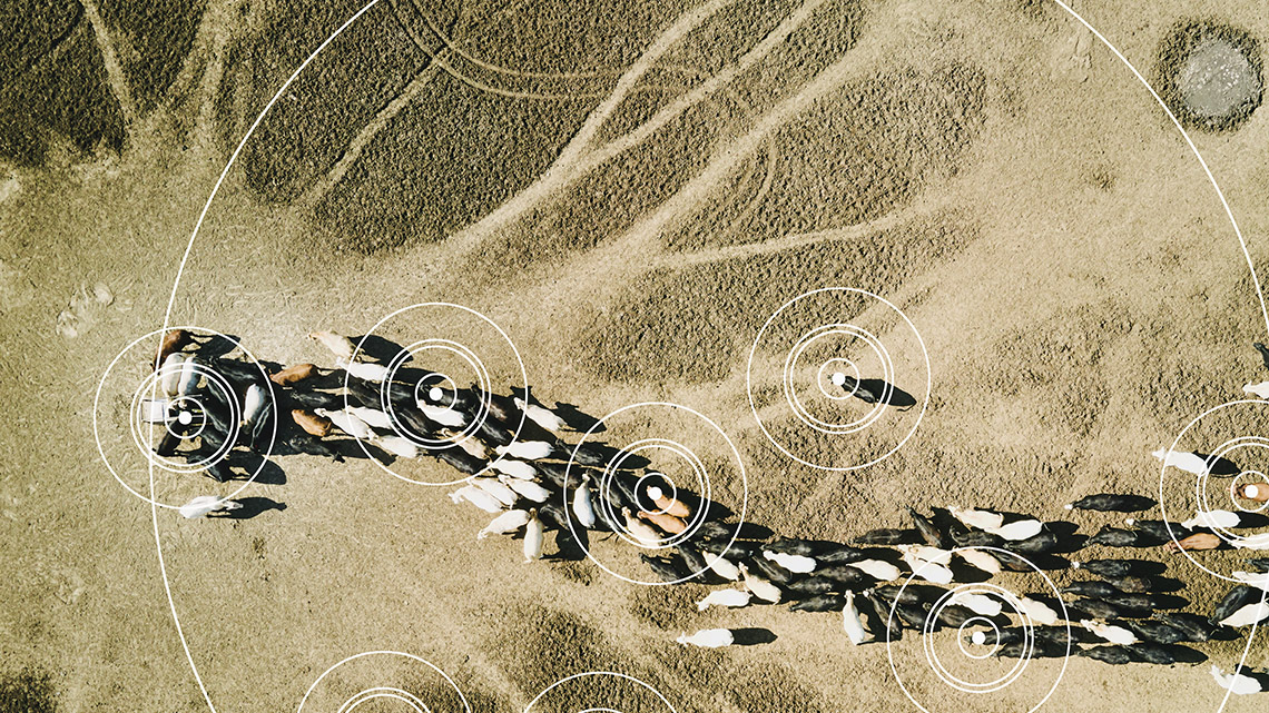
Tracking animals
GPS trackers can be placed on animals to track their location and traveling patterns. One reason this is done is to prevent the illegal hunting and trading of animals, specifically endangered ones. Another reason is so that researchers can track and study the migration pattern of various animals, both on land and in the sea. Scientists track how changing climates affect a species’ habitat and can use this information to put preventative measures in place.
Location sharing
A GPS can also be used to track the location of people by sharing their location. This can be beneficial for locating people in case of an emergency. This is often achieved by having someone wear a wristband or carry a device with GPS technology that is synced with another device that can track it.
Did You Know?
Did you know?
Did you know that NASA uses GPS for many different things?
In 2017, NASA used GPS data to track Hurricane Harvey. They tracked where the water went and how long it took to dissipate. Tracking this is important because scientists wanted to understand how much water was stored on the land. They also can learn when the next rain-heavy storm hits in order to help prevent flooding.
NASA has also been using GPS to determine the soil moisture and water weight in the Sierra Nevada mountains. This study used GPS to monitor a location to determine how much the ground was sinking in winter and rising back up in the Spring. The Earth dips or sags under the weight of water, almost like a mattress does when a person sleeps on it. By calculating the weight of water, scientists can estimate what water resources will be available after winter or predict how dry the mountain might be during a fire season.
NASA is also studying the Earth’s ionosphere (part of the upper atmosphere) in order to improve the quality of GPS! We all use GPS for things like getting to an unfamiliar place. But at the upper atmosphere the signals that go from the GPS satellites to a device like a smartphone can get distorted. That means that areas such as the polar ice caps have a different effect on the radio signals then in other regions. The reason they are researching this area is because of vehicles like an aircraft fly over the North Pole they could lose the signal to their communications, and this might cause problems.
NASA is continuing to do some amazing things with GPS. Who knows what the future will bring?
What are the disadvantages of GPS?
We have explored some of the advantages of GPS. Let’s now consider some of the disadvantages.
First, while mostly reliable, the connection between a GPS device and the satellite can be disturbed. This leaves the person without accurate information. It is possible that the connection is disturbed while a person is
- traveling underground
- exploring a remote area (i.e. forest, canyon)
- high above ground (i.e. hiking up a mountain)
Secondly, as people rely more and more on GPS devices, they are less able to read maps and follow directions accurately.
Thirdly, GPS devices can distract a person while they are performing a task, such as driving. They can also distract a person from connecting to nature.
Finally, GPS devices require regular updates in order to work properly.
Pause and Reflect
Let's reflect
Consider what you have learned about GPS devices.
Create a list of advantages and disadvantages of using GPS devices. Once you have completed your list, compare it with a partner, if possible.
Consolidation
Solving problems with GPS
Consider what you have learned about GPS in this learning activity. Think about how the examples are used in the real world.
Use the scientific research process to answer the following question.
Check out this video to learn about the steps of the Scientific Research Process.
How could a GPS device be used to solve a problem in modern day society?
Types of problems include:
- environmental (i.e. monitoring wildlife)
- agricultural (i.e. monitoring crops)
- health (i.e. patient monitoring)
Press ‘Example’ to access an example of GPS being used to solve a problem.
GPS devices can be used for real-time data collecting in farming. Using data collected with GPS technology farmers could locate areas of their land that do not have enough nutrients to grow crops. They could also track where seeds have been planted and map out the boundaries of their property.
Think about it!
How do you think GPS will be used in the future?
Reflection
As you read through these descriptions, which sentence best describes how you are feeling about your understanding of this learning activity? Press the button that is beside this sentence.
I feel…
Now, record your ideas using a voice recorder, speech-to-text, or writing tool.