Minds On
Task 1: Mapping Inuit communities
The following map of northern Canada includes the Inuit communities’ traditional territories Inuvialuit, Nunavut, Nunavik, and Nunatsiavut.
As we work towards Truth and Reconciliation, information about lands and territories is constantly being updated. This map was created using information available as of July 2021 from the Inuit Taripriit Kanatami.

This is an image of Inuit communities in Canada. The Inuvialuit territory is found in the Yukon Territory and the islands in the northern half of the Northwest Territory. The Nunavut territory is found in the Northwest Territory and Nunavut. The Nunavik territory is found in northern Quebec. The Nunatsiavut territory is found in Labrador and Newfoundland.
Press the following tabs to access and explore significant events that have affected Inuit communities.

Brainstorm
Let's think!
- What are two things that you already know about Inuit communities of Canada?
- What is one thing you are wondering about Inuit communities in Canada?
Action
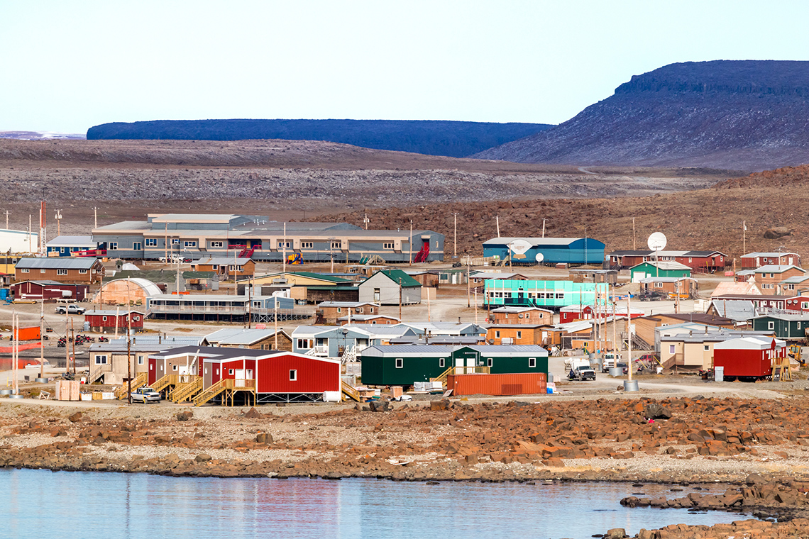
Inuit communities in the Arctic lands
Inuit ancestors lived along the coastlines of the Bering Strait regions and later moved across northern areas, which are now referred to as Alaska, Greenland, and Canada, over several thousand years beginning in about 4,000 CE.
Their ancestors, who are called the Sivullirmiut or the First People, began to establish specific hunting areas and living places, which led these areas to be used year after year. These patterned movements and activities on the land continue today.
Inuit refer to their homeland as the Inuit Nunangat, meaning the land, water, and ice in the Arctic region. In 2011, there were nearly 60,000 Inuit living in Canada. Of those 60,000, 73 percent lived in Inuit Nunangat.
Inuit communities have lived in a physical environment that is unique to Canada. Let’s review some information about the Arctic Lands of Canada.

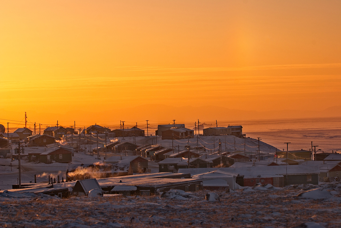
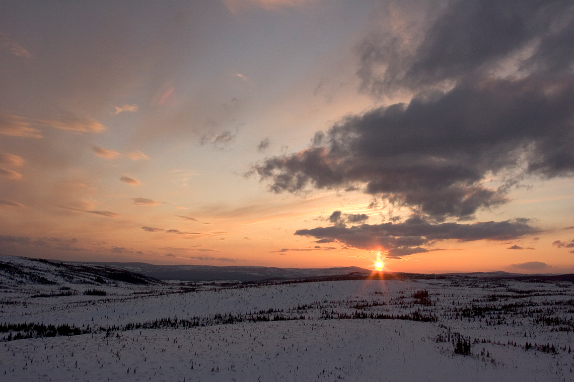
The Arctic Lands of Canada is the landform region that is the northernmost part of Canada. It spans across the Yukon Territory, Northwest Territories, and Nunavut as well as the northern part of Quebec and Newfoundland and Labrador. It includes the northern islands of Canada. The Arctic Circle is found in this region.
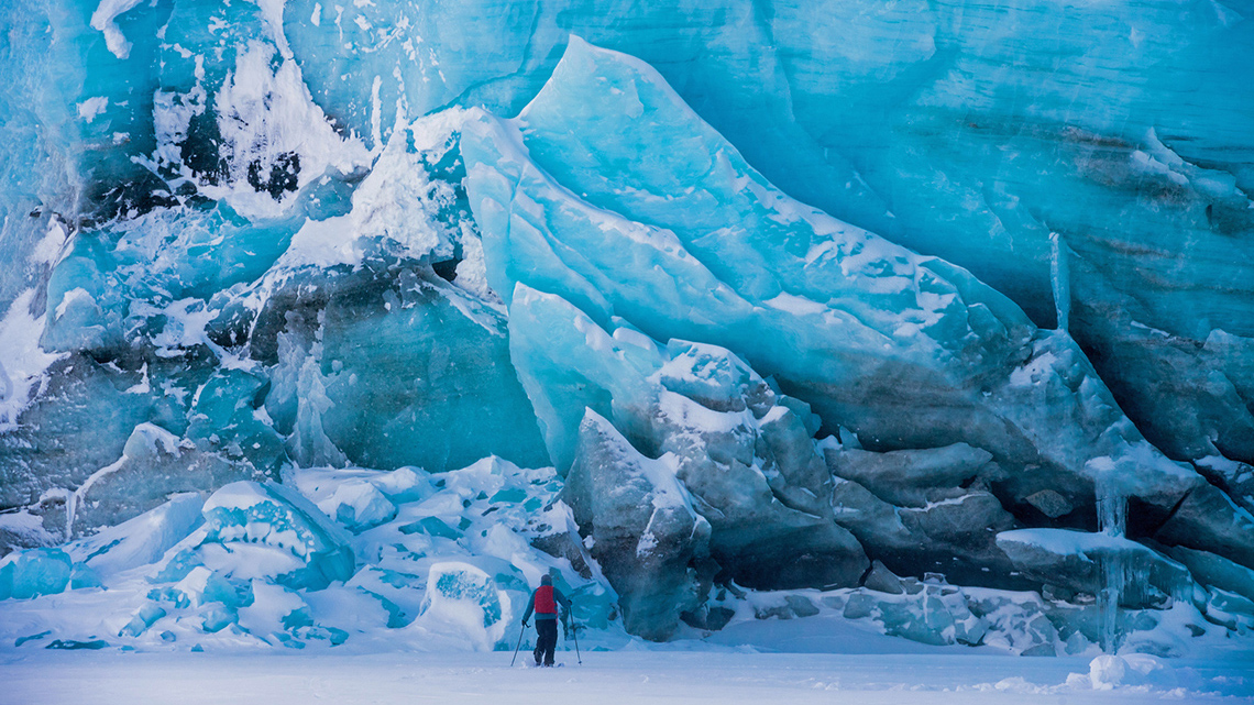
The polar region makes up over 20% of Canada’s area. The physical environment is unlike any other region of Canada and has physical features that include glaciers, flat tundra, polar ice packs, and permafrost.
Glaciers are large pieces of ice that slowly move as they warm up. They shrink in the summer and then freeze in the winter.
The flat tundra is made up of large areas that are treeless and have frozen ground.
Polar ice packs are large areas of permanently frozen sea ice.
Permafrost is soil that stays frozen all year except in the summer. Even in the summer, only the very top layer of permafrost soil thaws.
The climate of the Arctic Lands is cold and dry. When the snow falls, it stays on the ground for a long time because the air is so cold. The polar region has long, cold winters and short, cool summers. Because the region is so far north, there is only a small amount of darkness in the summer months, and the sun stays visible in the sky all day and for most of the night. In the winter months, the sun is not visible for most of the day, and there is only a small amount of light.

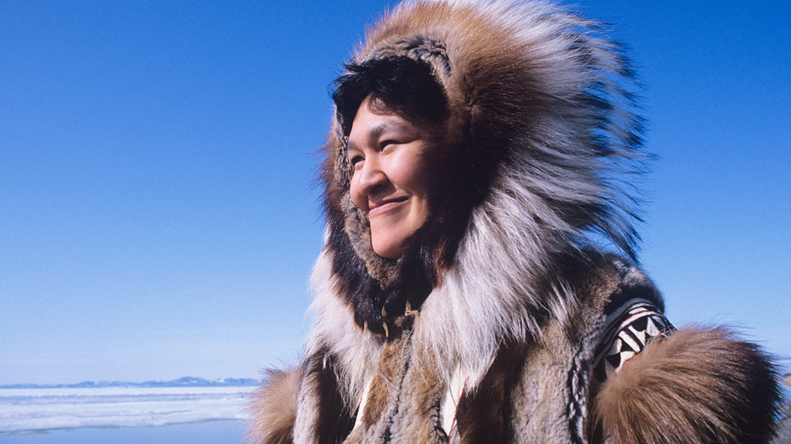
Because of the frozen soil, farming cannot happen. There are no trees in this region. There are grasses and plants that have adapted their ability to grow in thin soil here in this region. The plants are low to the ground, like bushes. Animals such as polar bears, walruses, narwhals, beluga whales, and muskoxen call this region home.
Think about it!
Now let's consider the attributes explored in the previous section of the northern regions of the land we now call Canada.
Answer the following questions using a method of your choice:
- Can you describe the location of these traditional Inuit territories located in Canada?
- What do you know about the landform region of the Arctic Lands?
- What is the physical environment like?
- What is the climate like?
- What vegetation would be found here?
Press 'Hint' button to access some attributes of the region to help you start.
Use the information in the carousel you accessed in the previous section to complete the following true or false activity.
For each sentence, select true or false from the drop-down menu.
Brainstorm
What do you think?
How might the physical environment of the Arctic affect the communities who live in this region? Consider the following checklist.
Press ‘Hint’ to access and explore some questions to consider.
Consider what plants and vegetation do and do not grow in the Arctic.
What animals are found in polar regions? What animals are not found there?
How could people travel long distances?
What materials could be used to make homes?The changing role of the Canadian government in the Arctic
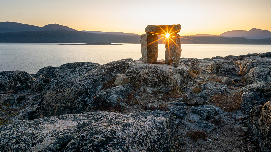
In the unique physical environment of the Arctic Lands, Inuit communities have lived for a thousand years. There have been some significant events that have affected Inuit communities in the past. We will learn of three of those events here.
Press the following titles to explore significant events that have affected Inuit communities.
On April 1, 1999, the official Canadian territory of Nunavut was created. With this creation of the territory, the Inuit communities have their own official homeland, the largest province or territory in Canada.
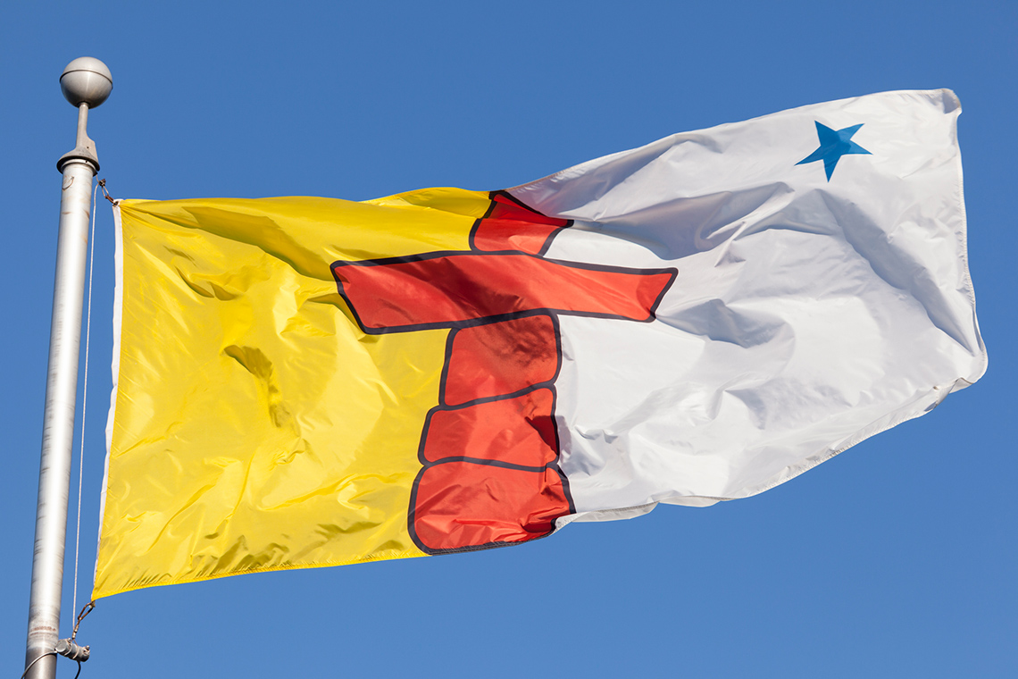
This is the official flag of Nunavut. The flag features a red inuksuk, which is a traditional Inuit land marker, and a blue star on the top right corner of the flag. The star represents the North Star and the leadership of elders in the community. The left side of the flag has a yellow background, which represents the riches of the land and sky, and the blue colour of the star represents the riches of the sea.
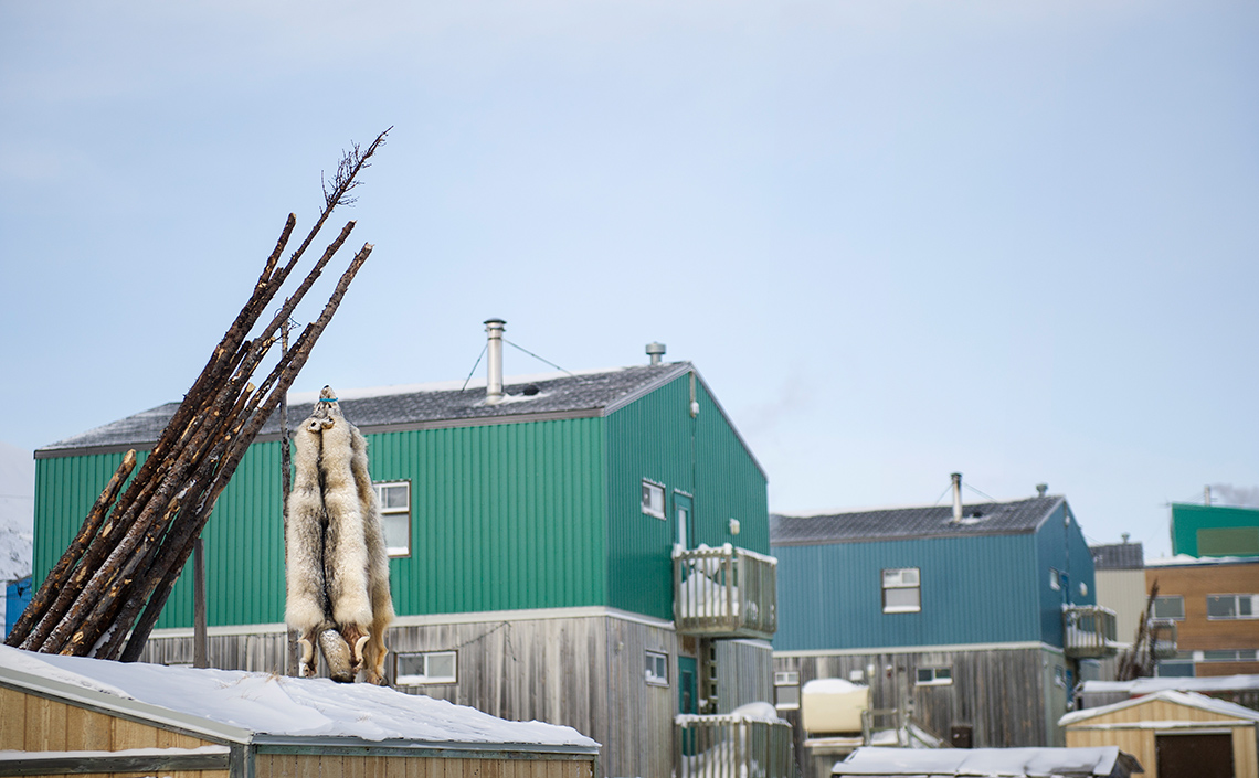
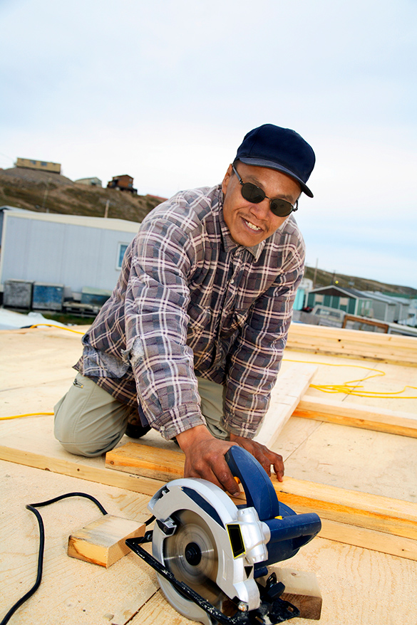
The twenty-six Inuit communities that represent most of the people who live in this territory have always been described as having a distinctive (meaning unique) culture, history, and politics. Two strong values in Inuit culture are flexibility and ingenuity (meaning to be inventive). This means the Inuit use both their traditional worldviews and values alongside new ideas and technologies for life in the Arctic Lands today.
Traditional ways of living continue to be strong in Inuit communities of the Arctic because of their need to hunt and fish in order to have enough food for the community to survive.
As a result, the government became more involved in decisions about how the Inuit and others who lived in this region would live, including how they would travel and hunt, which were vital to Inuit survival.
Residential schools
The Canadian government also intervened in Inuit traditional forms of education, which included learning how to survive on the land. The government introduced residential schools that focused on assimilating the Inuit into Western society.Effects on traditional ways of living
Because of these changes, Inuit communities were forced to create permanent settlements in the 1950s and 1960s instead of their previous life, which included non-permanent homes for harvesting and survival.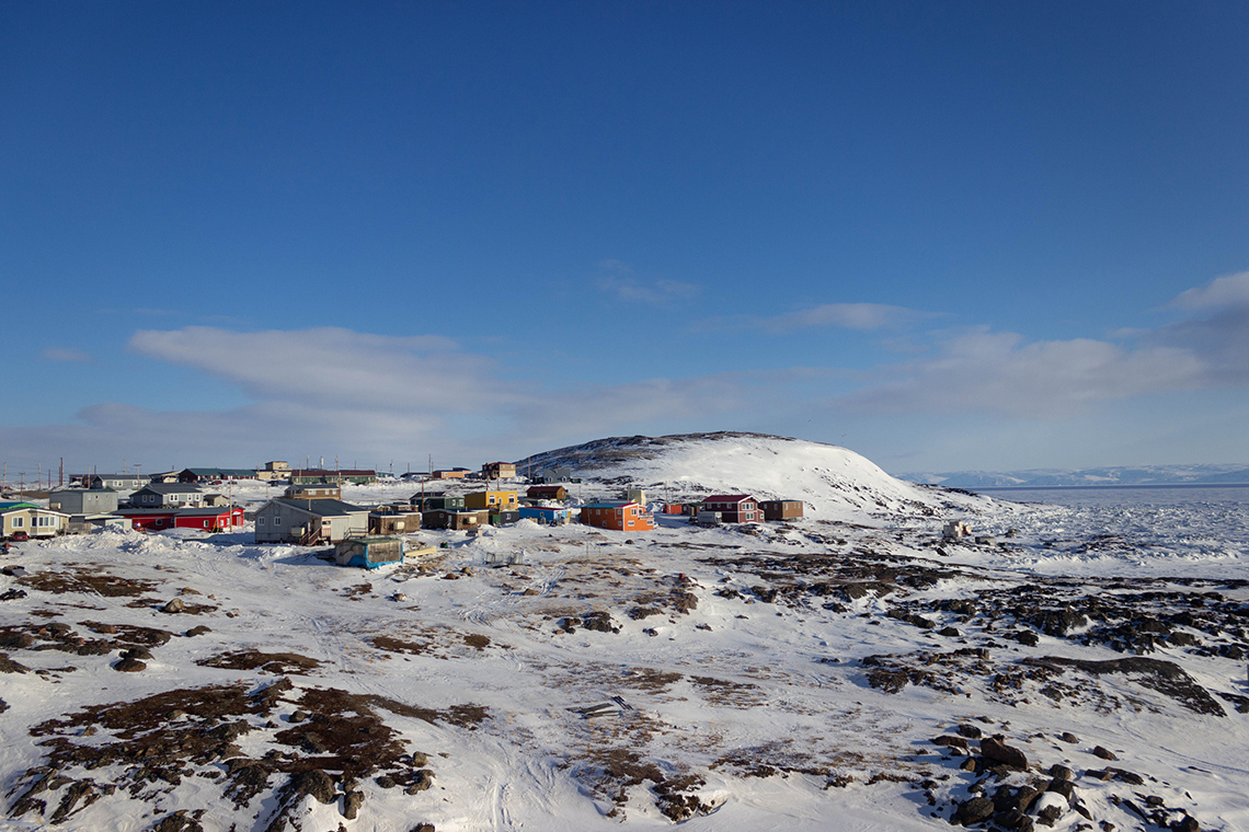
A land claim is a First Nations, Métis, or Inuit assertion of rights over their land and resources, and of self-government.
Over the next thirty years, negotiations between the Inuit and the federal government persisted, and the idea for a separate territory, Nunavut, also took shape during this time.

The three main regions in Nunavut are:
- the communities on and around Baffin Island
- the communities on the islands and along the coast of central Nunavut
- The communities in the region along the northwest coast of Hudson Bay
As we work towards Truth and Reconciliation, information about lands and territories is constantly being updated. This map was created using information available as of July 2021 from StatCan.
 Description
This is a map of the communities of Nunavut. It is divided into three communities: Kitikmeot, Kivalliq, and Qikiqtaaluk. The community of Qikiqtaaluk is located in the surrounding areas and on Baffin Island. The community of Kivalliq is located on the mainland and the northwest coast of Hudson Bay. The community of Kitikmeot is located in the area north of the Kivalliq and west of the Qikiqtaaluk community.
Reflection
Consider the following three questions and the accompanying hints. Choose two of the three following questions to answer. Complete the Changes in Inuit Communities activity in your notebook or use the following fillable and printable document. If you would like, you can use speech-to-text or audio recording tools to record your thoughts.
- How did the beginning of the Canadian government patrols of the Arctic Lands affect the Inuit communities?
Press 'Hint' to access a prompt if you need help getting started.
- What happened in 1965 that significantly changed the way the Canadian government governed the land?
Press 'Hint' to access a prompt if you need help getting started.
- How did the creation of Nunavut affect the twenty-six Inuit communities of this region?
Press 'Hint' to access a prompt if you need help getting started.
Press the ‘Activity’ button to access Changes in Inuit Communities.
The creation of Nunavik

Press the following tabs to access and learn more about key events in the creation of Nunavik.
The James Bay Project was a development that put the Cree and Inuit people of Nunavik in a difficult situation with the provincial government, as it affected their traditional territories, hunting grounds, and way of life.
The James Bay Project was a massive hydroelectric power development on the east coast of James Bay. It was started in 1971 by Hydro-Québec and the Quebec government without consent or consultation with the Cree or Inuit communities.
The following map outlines the region of Nunavik on the Quebec map. The region of Nunavik includes the top one-third of Quebec and passes a little into the northern tip of Labrador.
As we work towards Truth and Reconciliation, information about lands and territories is constantly being updated. This map was created using information available as of July 2021 from Makivvik.

In the Nunavik Plan, and as an extension of the plan in 2014, the importance of traditional Inuit culture, identity, language, and way of life was carefully considered, as well as the protection of these elements of Inuit culture. Some of these elements included protecting Inuit families and family structures that were historically targeted by the government through the residential school system.
Learning check!
Consider the timeline of key events in Nunavik that you accessed in the previous section. Use the information you learned about the history of Nunavik to complete the following fill in the blank activity.
Reflection

How would the creation of their own Inuit government in 2007 and the ability to not be reliant on the government of Quebec have positively affected these Inuit communities?
Press 'Hint' to access a prompt if you need help getting started in your thinking.
The creation of Nunatsiavut
In Inuktitut language, Nunatsiavut means “our beautiful land.”
There are five Labradormiut communities in Nunatsiavut. Explore the following list to learn the names of the five Labradormiut communities.
- Rigolet
- Postville
- Makkovik
- Hopedale
- Nain
The Labradormiut community lived a nomadic lifestyle following traditional hunting patterns until the 1770s when missionaries, particular Moravian missionaries, came and developed permanent settlements in Labrador.
Press the ‘Missionaries’ button to access its definition.
Press the following titles to learn more about key events in the creation of Nunatsiavut.
In 1973, the Labrador Inuit Association was created with the plan to promote Inuit culture, protect the health, well-being, and rights of the Labrador Inuit communities and to assist in forming land claims.
In 1977, a land claim was filed by this association to both the provincial government of Newfoundland and Labrador and the federal government.
On December 1st, 2005, the official announcement was made that Nunatsiavut would have their own regional government within the Newfoundland and Labrador government. Members of the Labrador Inuit Association became the government until their first election. The Inuit community of Labradormiut became the first Inuit community in Canada to officially have their own government.
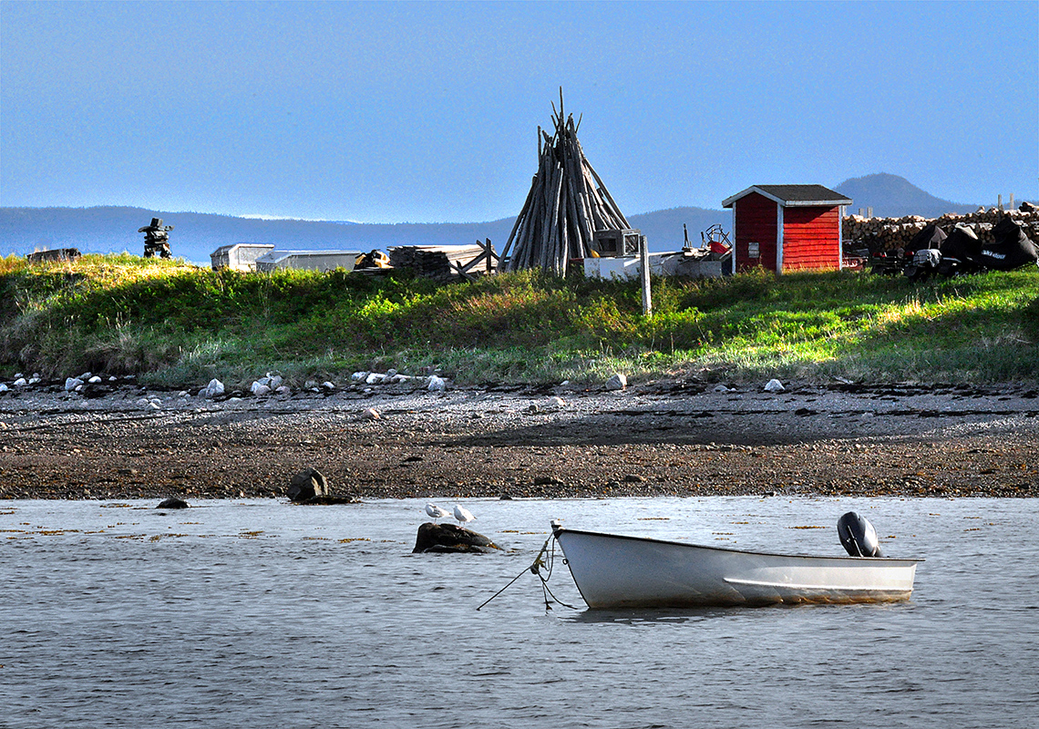
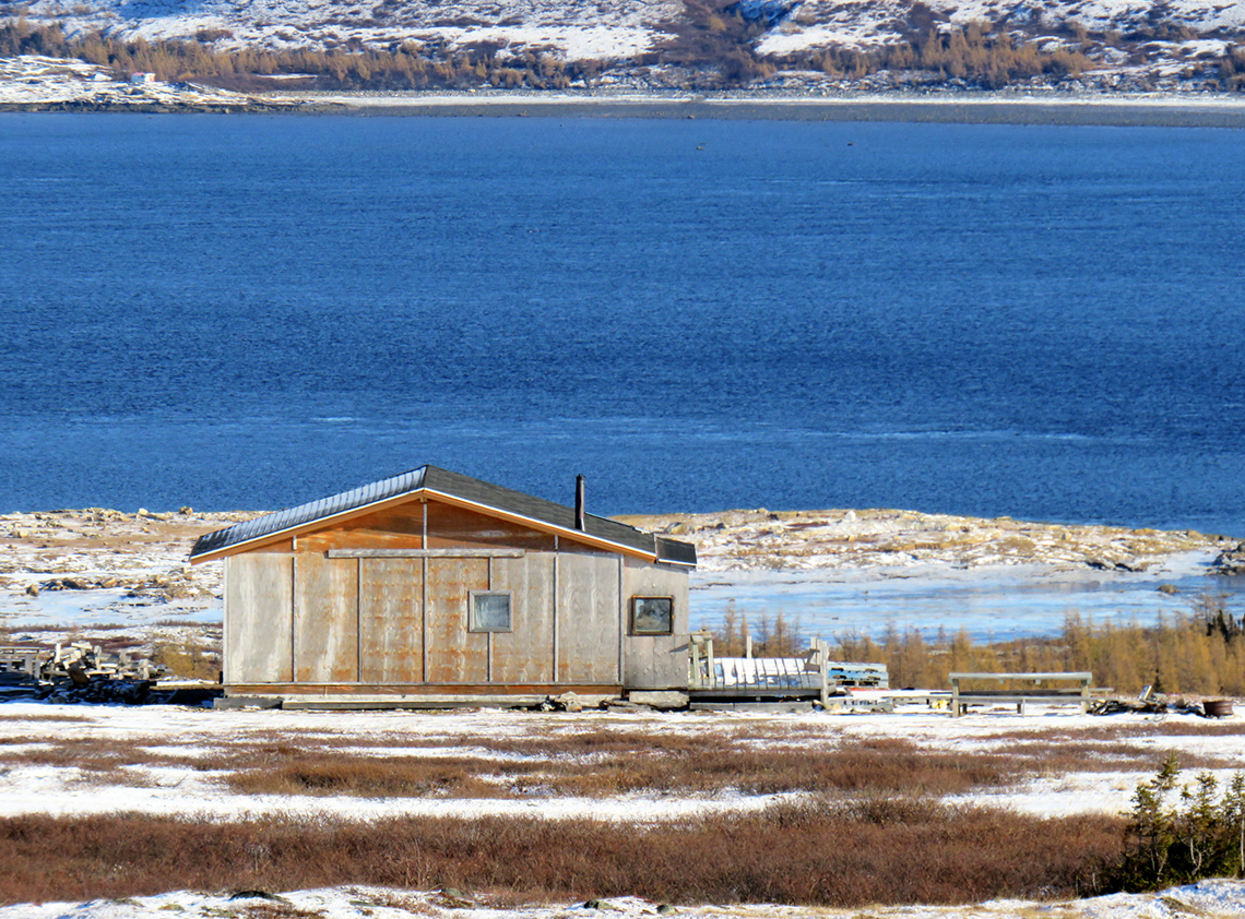
Today, the Inuit communities in Nunatsiavut continue to practice their traditional way of life of hunting, fishing, and gathering.
A Map of Nunatsiavut
The following map explores the five communities of Nunatsiavut. All five of these communities are located along the coast of the Atlantic Ocean. Rigolet is the southernmost community. Postville and Makkovik are side by side and slightly south of Hopedale. Nain is the furthest north, in the top third of Labrador.
As we work towards Truth and Reconciliation, information about lands and territories is constantly being updated. This map was created using information available as of July 2021 from Tourism Nunatsiavut.
 Description
This map explores the five communities in Nunatsiavut. All five of these communities are located along the coast of the Atlantic Ocean. Rigolet is the southernmost community. Postville and Makkovik are side by side and slightly south of Hopedale. Nain is the furthest north, in the top third of Labrador.
Learning check!
Use the information you accessed in the previous section about the Nunatsiavut region to answer the following true and false activity.
Brainstorm
What do you think?
How would having their own regional government affect the Labradormiut’s five communities?
Press ‘Hint’ to access additional questions if you need help getting started with your thinking.
Consolidation
New learning about our oldest communities
Consider the information you have learned through the different sections you explored. Choose two of the following questions to answer:
- What are the similarities and differences between these three Inuit communities in Canada?
- Why is it important for Inuit communities to have self-government?
- What is one significant takeaway about the Inuit communities in Canada that you have learned as a result of this learning activity?
Complete the Inuit Communities Across Canada activity in your notebook or use the following fillable and printable document. If you would like, you can use speech-to-text or audio recording tools to record your thoughts.
Press the ‘Activity’ button to access Inuit Communities Across Canada.
Reflection
As you read through these descriptions, which sentence best describes how you are feeling about your understanding of this learning activity? Press the button that is beside this sentence.
I feel...
Now, record your ideas using a voice recorder, speech-to-text, or writing tool.
Press ‘Discover More’ to extend your skills.
Discover MoreThe one Inuit community that was not detailed is the community of Inuvialuit. This community is also self-governed.
Explore how the community of Inuvialuit became self-governed to answer the following questions. For your research, consider using websites such as Canadian encyclopedia websites, Canadian museum websites, or sources created by Inuit communities.
As you search, take note of:
- What year did this community begin governing itself?
- What were government relations with this community leading up to their self-governance?
- What are they able to protect about their lifestyle with self-governance?