Minds On
Our natural environments

There are distinct characteristics that can be used to describe the natural environment in different areas of Ontario.
Think about the land in your community or municipality.
- How would you describe the ground?
- What kind of plants and animals are common?
- Are there any bodies of water nearby?
- How do people interact with the land?
Let's explore the many different areas in Ontario.
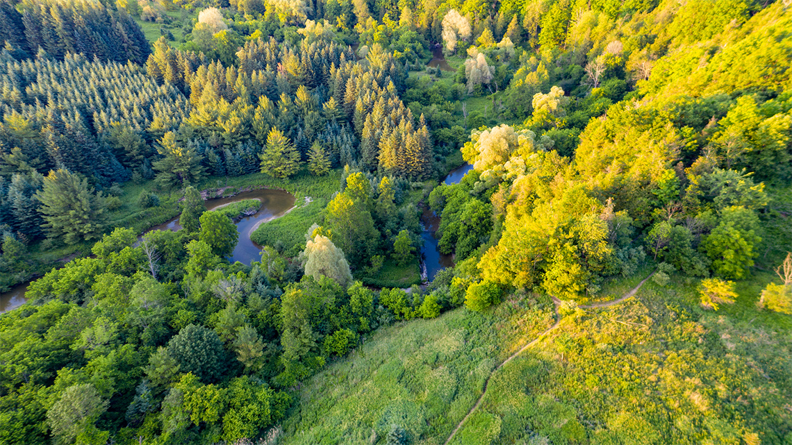
Boyd Conservation Park, Ontario

Big Creek National Wildlife Area, Ontario

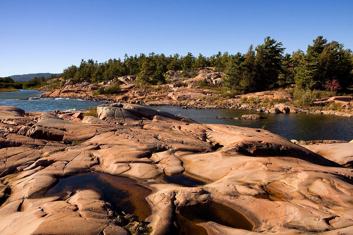
Thousand Islands National Park, Ontario

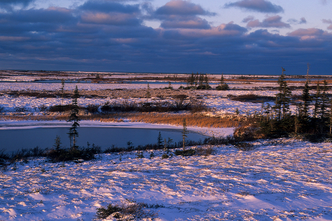
James Bay, Ontario
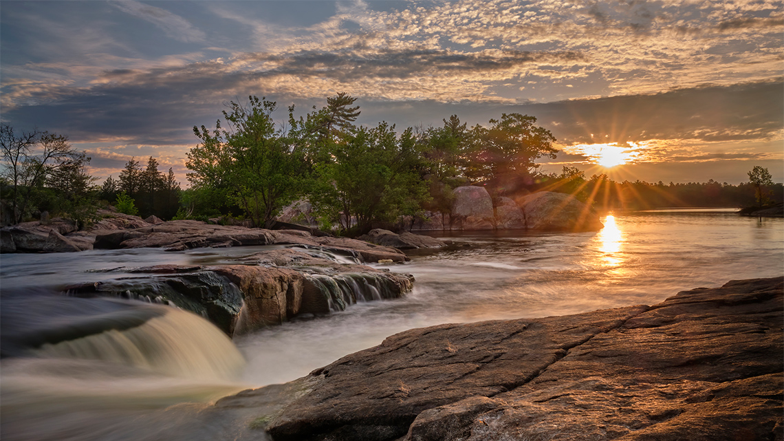
Burleigh Falls, Ontario
Brainstorm
My natural environment
- What do you know about the natural environment where you live?
Record your response using a method of your choice.
Action
Landform regions
There are different regions of Ontario with unique characteristics that define each area. These characteristics can include the climate, bodies of water, the type of soil, and native vegetation, and wildlife.
What do you think a landform region is?
Press ‘Definition’ to access the definition of landform region.
There are three major landform regions in Ontario:
- The Great Lakes-St. Lawrence Lowlands
- The Canadian Shield
- The Hudson Bay Lowlands
 Description
Title: The Major Landform Regions of Ontario.
A map of Canada representing all major landform regions.
The province of Ontario is highlighted and contains three major landform regions.
The Saint Lawrence Lowlands is located in the southern part of Ontario.
The Canadian Shield is located in the central and northwest part of Ontario.
The Hudson Bay Lowlands is located in the northern part of Ontario.
The other major landform regions in Canada are the Cordillera in the west, the Interior Plains in the centre, the Arctic Lands in the north, and the Appalachian Region in the east.
Student Success
Think
If possible, with a partner, discuss the following question:
- Why do you think each Ontario landform region got their name?
Record your ideas in a notebook or a method of your choice.
Characteristics of landform regions
Let’s explore Ontario’s landform regions and their characteristics.
Press each tab to access a list of the characteristics for that landform region.
| Location | Southern Ontario |
|---|---|
| Bodies of Water | Freshwater: The Great Lakes |
| Terrain | Fertile soil |
| Trees | Alder, aspen, balsam, maple |
| Animals | Racoons, white-tailed deer, lake trout, bass, walleye |
| Some Communities | Hamilton, Kingston, Toronto, Windsor, Ottawa, Missisaugas of the Credit First Nation |
| Industries | Shipping, transportation, farming |
| Activities | Cottaging, fishing |
| Location | Central and Northwestern Ontario |
|---|---|
| Bodies of Water | Freshwater: Lake Superior, many small lakes and rivers |
| Terrain | Hard rock, dense and coarse soil |
| Trees |
North (coniferous/needles): Black spruce, jack pine, white pine South (deciduous/leaves): balsam, maple |
| Animals | Beavers, black bears, moose, deer, walleye, yellow perch |
| Some Communities | North Bay, Sudbury, Thunder Bay, Wawa, Rainy River First Nations |
| Industries | Forestry, mining |
| Activities | Camping, cottaging, fishing, hunting |
| Location | Northern Ontario |
|---|---|
| Bodies of Water | Saltwater: Hudson Bay, James Bay |
| Terrain | Permafrost, waterlogged soil |
| Trees | Birch, spruce, tamarack, willow |
| Animals | Beluga whales, black bears, polar bears, sandhill cranes, walleye, northern pike |
| Some Communities | Attawapiskat, Fort Albany, Moosonee, Deer Lake First Nation |
| Industries | Forestry, tourism |
| Activities | Hunting, fishing |
Identifying Ontario’s landform regions
Explore the following carousel of images.
Can you identify each Ontario landform region?
Use the information you have learned about the characteristics of Ontario landform regions to help you.

Press ‘Answer’ to access each Ontario landform region.
- The Canadian Shield
- The Hudson Bay Lowlands
- The Great Lakes – St. Lawrence Lowlands
Complete the Identifying Landform Regions activity in your notebook or using the following fillable and printable document. You can also use another method of your choice.
| Record answers to the following questions. | |
| 1) What clues led you to know which image represented each landform region? | |
| 2) What is the most unique feature of each Ontario landform region? | |
| The Great Lakes-St. Lawrence Lowlands | |
Press the ‘Activity’ button to access Identifying Landform Regions.
Consolidation
Sharing information
Now that we have learned about the three major landform regions in Ontario, choose one region to share information about.
You can share information about your chosen landform region using any of the following methods:
- poster
- poem or short story
- collage or drawing
- audio or video recording
- song
- another method of your choice

Sharing Information Checklist
Make sure that you include the following information:
Reflection
How do you feel about what you have learned in this activity? Which of the next four sentences best matches how you are feeling about your learning? Press the button that is beside this sentence.
I feel...
Now, record your ideas about your feelings using a voice recorder, speech-to-text, or writing tool.